Picture this: sunrise on the creek, a five-minute coffee stop, an easy run of errands, then sunset on a dock with a salty breeze. If you are dreaming about a coastal routine with quick access to Charleston, Mount Pleasant often rises to the top of the list. In this guide, you will see what daily life feels like, how neighborhoods differ, typical drive times, what homes look like, and the key details to know about pricing and flood considerations. Let’s dive in.
Mount Pleasant at a glance
Mount Pleasant is one of the Charleston area’s fastest-growing suburbs, with an estimated 95,600 residents as of July 2024, according to the U.S. Census QuickFacts. The mean commute time sits around 24.9 minutes for workers 16 and up, and a typical drive to downtown Charleston ranges from about 15 to 30 minutes depending on where you start and traffic patterns. Median household income trends near $125,000 and the five-year owner-occupied home value median was reported around $748,500. You can review these data points in the Census snapshot for Mount Pleasant.
As of late 2025, market trackers placed typical home value medians in a band from the mid-$800,000s to the low-$900,000s, with waterfront and marquee neighborhoods trading at higher levels. Day-to-day pricing still varies by location, lot type, and condition, so expect a range even within the same subdivision.
A day in the life
Morning rhythm
Early risers walk, run, and bike on neighborhood trails and waterfront boardwalks. The Shem Creek boardwalk is a favorite for sunrise and wildlife watching, and you will also see kayakers and paddleboarders starting the day on the calm water. Seasonal markets and events often pop up at Memorial Waterfront Park, which doubles as a community hub for morning meetups.
- Explore the Shem Creek boardwalk and waterfront vibe at the park’s overview page: Shem Creek Park
- Check the Town’s news and events for markets hosted at Memorial Waterfront Park: Town of Mount Pleasant News
Midday moves
Errands are simple thanks to retail clusters along Coleman Boulevard, Johnnie Dodds Boulevard, and Mount Pleasant Towne Centre. National grocers like Trader Joe’s and Whole Foods sit close to many neighborhoods, which keeps grocery runs quick.
- See the Trader Joe’s location along Johnnie Dodds Boulevard: Trader Joe’s Mount Pleasant
On a break, locals head to Palmetto Islands County Park for shady trails, the observation tower, and paddle launches. On warm weekends, you may opt for a short beach run to Isle of Palms or Sullivan’s Island.
- Learn about trails and amenities: Palmetto Islands County Park
Evenings and sunsets
Shem Creek restaurants and bars draw a steady local crowd at sunset, with porch seating and dockside patios that capture the last light. Patriots Point anchors the harbor edge with major exhibits and seasonal events, offering wide views back to downtown and the bridge.
- Explore the museum campus and event calendar: Patriots Point
Weekends and community life
Spring through fall, you will find frequent town-hosted festivals, pop-up markets, and outdoor concerts. Events like the Sweetgrass Festival and Charleston Wine + Food programming at Mount Pleasant venues boost weekend energy and bring neighbors together.
- Watch for official event updates here: Town of Mount Pleasant News
Neighborhood snapshots
Shem Creek and Coleman Boulevard
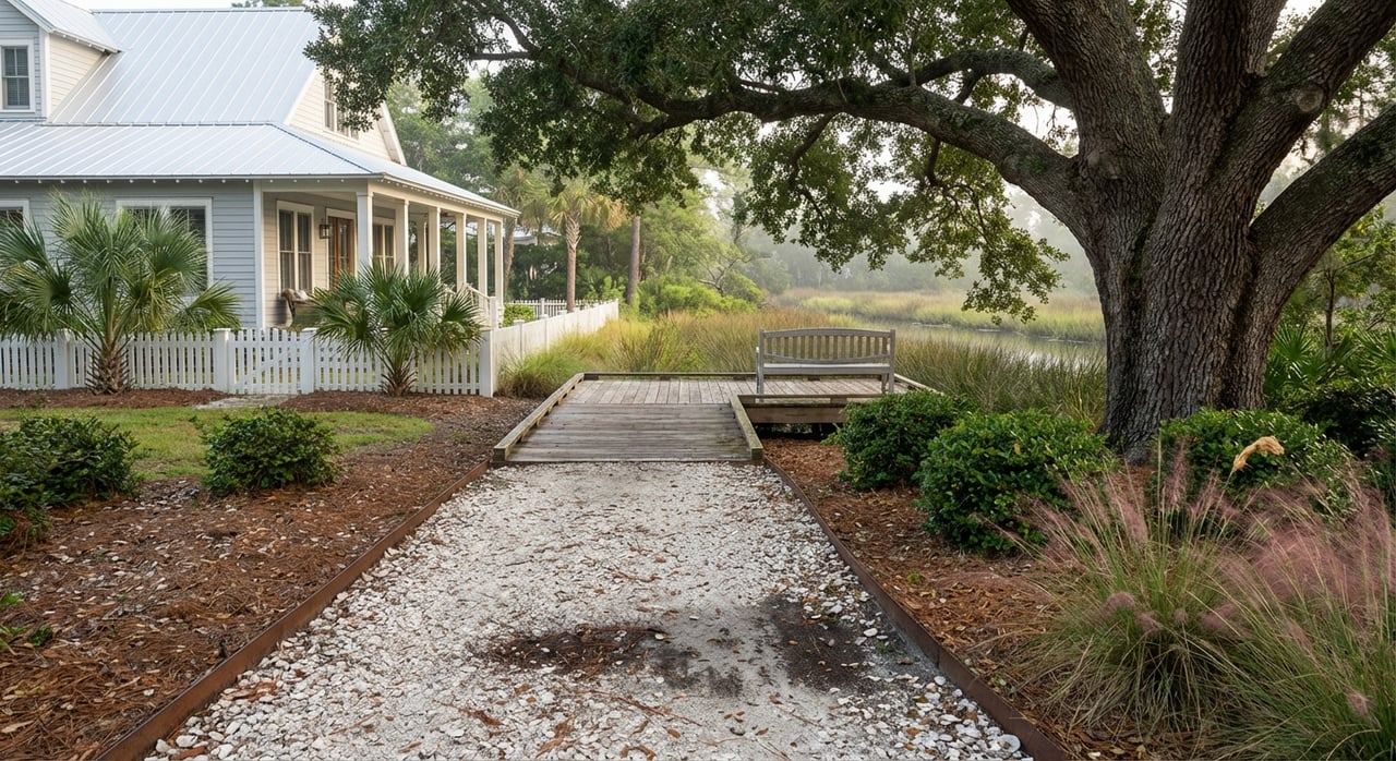
This is the social heart of town, with a working shrimping creek beside a lively boardwalk and a lineup of waterfront eateries. Coleman Boulevard reads like a main street, mixing independent shops with everyday services. If you want a walkable, coastal feel close to downtown Charleston, this area is a strong place to preview.
Old Village
Old Village offers a compact, historic setting with tree-lined streets and easy access to the Pitt Street Bridge and Alhambra Hall. The vibe is porch-forward and relaxed, and many residents move by bike or golf cart for short local trips. It is a good match if you value character streetscapes and a slower pace.
I’On and new-urbanist pockets
I’On is designed for walkability with village greens, pocket parks, and curated architecture. Sidewalks connect homes to small neighborhood hubs, and the environment supports an active, community-forward routine. Expect higher price points relative to much of town due to design, amenities, and location.
Park West, Dunes West, and Carolina Park
These master-planned areas offer newer homes, neighborhood pools, playgrounds, and convenient access to large parks. You will see a wide range of single-family options and some townhomes, with trails that make it easy to get outside. If you like organized amenities and room to spread out, start here.
Patriots Point and the harbor edge
Close to the Ravenel Bridge, this area connects out to the harbor and major attractions. Condo and townhome options appear in select spots, and the views make it easy to orient yourself to the water. It is an efficient base for people who want fast access to downtown Charleston.
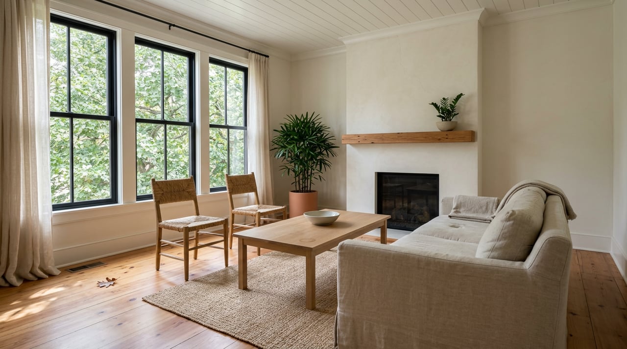
Housing and price ranges
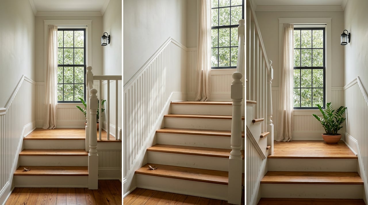
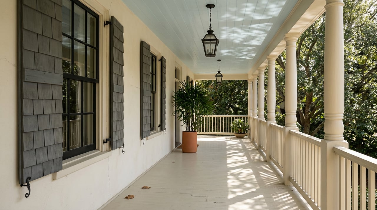
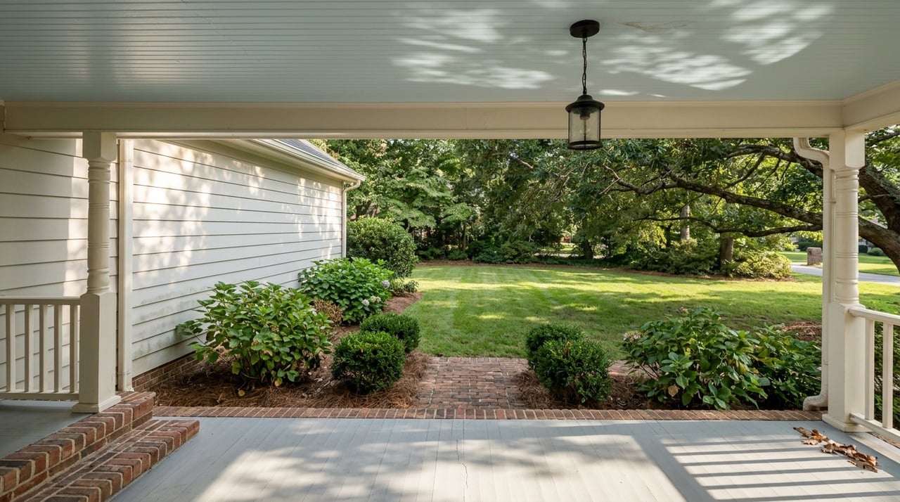
You will find Lowcountry and Charleston-influenced designs across town, including porch-forward homes, raised foundations, and side piazzas built for breezes. Master-planned neighborhoods tend to offer newer single-family homes with open layouts, while pockets near Towne Centre and the harbor include townhomes and condos. Marshfront and waterfront properties add private dock potential and broad views.
As of late 2025, a practical price band for median values sits in the mid-$800,000s to low-$900,000s. Waterfront and premium neighborhoods often trade from the low $1 millions into multi-million ranges. Inventory and days on market have eased from post-pandemic peaks, though individual listings still move quickly when they check the right boxes.
Commute and connectivity
From much of Mount Pleasant, a typical drive to downtown Charleston falls between 15 and 30 minutes, with the mean commute around 24.9 minutes for local workers. Charleston International Airport usually runs about 20 to 30 minutes depending on your starting point and traffic. Bike and pedestrian upgrades continue to improve local links, including projects around Shem Creek and key corridors.
- Review town project updates: Town of Mount Pleasant Civic Alerts
- See commute and population stats: Census QuickFacts for Mount Pleasant
Everyday conveniences and care
Grocery access is a real strength. You will find Trader Joe’s, Whole Foods, Publix, and neighborhood markets within a short drive of most communities. Retail clusters along Coleman Boulevard and Johnnie Dodds Boulevard cover pharmacies, fitness, restaurants, and services.
Healthcare is close by. Major medical centers on the Charleston peninsula and in North Charleston are across the Ravenel Bridge, with typical drive times in the 20 to 30 minute range depending on traffic. Many residents pair local primary care with specialists downtown.
Flood, elevation, and insurance basics
Coastal living comes with important due diligence. Town planning materials show that many Mount Pleasant areas sit within FEMA flood zones, and regional research points to increased high-tide or nuisance flooding over time. That does not mean you should avoid the coast. It means you should approach it with clear questions and a plan.
Smart steps to take before you buy:
Ask for the property’s current FEMA flood-zone map and any documented claims or mitigation work.
Confirm the required base flood elevation and whether the home’s foundation meets or exceeds it.
Talk with your lender and insurance agent about flood-insurance options and costs for that address.
Review drainage patterns, elevation surveys, and any neighborhood-level resilience projects.
Read the Town’s hazard and resilience assessment overview: Mount Pleasant Hazard Vulnerability Assessment
Schools and enrollment basics
The Charleston County School District operates public schools serving Mount Pleasant, including local elementary and middle schools and two main high schools, Wando High School and Lucy Beckham High School. Attendance zones can shift over time, and program options may include magnet and charter choices. Families often start by reviewing zones, transportation options, and commute patterns to match their daily routine.
- Begin with the CCSD site map and links to schools: Charleston County School District
Is Mount Pleasant a fit for you?
Choose Mount Pleasant if you want quick access to water, a strong lineup of parks, and a short hop to downtown Charleston. The lifestyle leans outdoorsy and convenient, with neighborhood hubs that make errands fast and evenings easy. Pricing reflects demand and coastal access, so your search will focus on tradeoffs between location, lot type, and home age. If you like an active, coastal routine and value short drive times to city amenities, it is worth a close look.
If you want help comparing neighborhoods, commute options, flood zones, and budgets, I am here to guide you. Reach out to Michele Moriarty for clear, full-service representation from search to closing. Let’s Connect.
FAQs
How far is Mount Pleasant from downtown Charleston?
- Many drives run 15 to 30 minutes depending on origin and traffic, and the local mean commute is about 24.9 minutes based on Census estimates. See the town snapshot: Census QuickFacts.
What are typical home prices in Mount Pleasant in 2025?
- As of late 2025, market trackers placed typical medians in the mid-$800,000s to low-$900,000s, with waterfront and marquee neighborhoods often in the $1 million plus range.
What is flood risk like in Mount Pleasant?
- Many areas are in FEMA flood zones, and regional nuisance flooding has increased. Ask for zone details, elevation, and insurance quotes early. Learn more in the Town’s overview: Hazard Vulnerability Assessment.
Which Mount Pleasant neighborhoods feel walkable?
- For a compact, walkable feel, preview Shem Creek and Coleman Boulevard, Old Village, and I’On. Each has sidewalks and nearby amenities, with different price points and home styles.
Which public schools serve Mount Pleasant?
- The Charleston County School District operates local public schools, including Wando High School and Lucy Beckham High School. Always review attendance maps and programs on the CCSD site: District Site Map.